What could be the fate of your home if a hurricane hits the Lowcountry?
A new website developed by a College of Charleston professor and his students could help answer that question.
 College of Charleston Atmospheric Physics professor Lee Lindner and his students have spent several years developing an new interactive hurricane surge visualization model. This web site allows anyone in the Berkley, Dorchester and Charleston county area to click on a landmark near their home and see a simulated photograph of how much water would exist for various hurricane scenarios.
Click here to find for the site.
“ Most people know they may be in a flood zone, but this website provides a realistic view of what the water level could be in their home in the case of a hurricane,” says professor Lindner. “People visiting this site will come away with a very clear picture of the risks of storm surge on their property.”
 This new project is a collaboration of the College of Charleston and the National Weather Service.
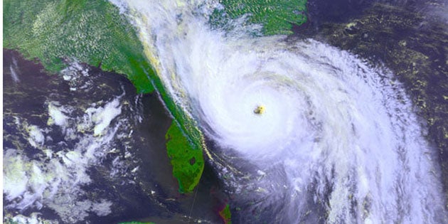
Hurricanes are no strangers to the Lowcountry. Since the 1950’s, there have been 8 hurricanes and 4 tropical storms to hit the area. The largest storm to hit the region was Hurricane Hugo in 1989. The category 4 storm came ashore along the South Carolina coast with 138 mile per hour winds and a storm serge that was recorded to be 15-20 feet about the mean sea level.


