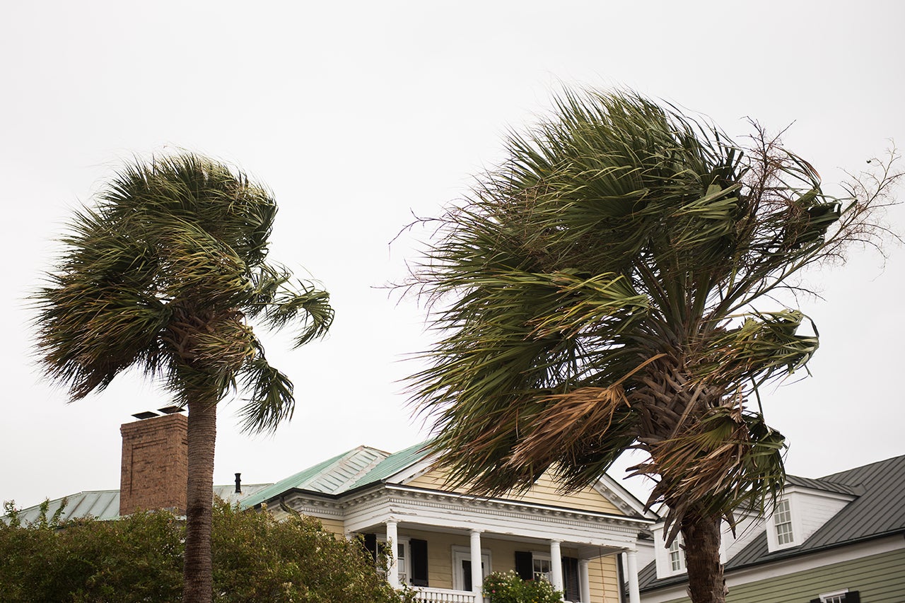
The 2019 hurricane season is officially upon us – and, according to the Atlantic seasonal outlook recently released by the National Oceanic and Atmospheric Administration’s (NOAA) Climate Prediction Center, we can expect “near normal” activity this year.
An average hurricane season produces 12 named storms, of which six become hurricanes, including three major hurricanes (category 3–5). Based on satellite data measuring everything from air and water temperatures to sea-level pressure (SLP) and atmospheric dust, NOAA predicts 2019 will see a likely range of nine to 15 named storms, of which four to eight could become hurricanes, including two to four major hurricanes.
What NOAA’s atmospheric and oceanic data can’t predict, however, is what this means for those of us down here on the ground.
“The data is used to make the seasonal forecast, but long-term forecasts do not have a strong connection to current conditions,” says Lee Lindner, associate professor of physics at the College of Charleston and coordinator of the College’s Meteorology and Atmospheric Physics Program. “It may seem counterintuitive, but there is often little correlation between the amount of activity across the Atlantic as a whole, and a solitary point like Charleston. In other words, it can be a busy year in the Atlantic, yet quiet here; or quiet in the Atlantic, and busy here.”
Assistant professor of physics and hurricane scientist Gabriel Williams agrees: “It’s important to remember that the seasonal outlook does not give any information about the likelihood of landfalling hurricanes for a given year. Rather, it provides an estimate of the number of total hurricanes that is expected during a given season.”
RELATED: Read the student guide to hurricane preparedness.
And this season, the outlook reflects two competing climate factors: warmer-than-average sea-surface temperatures (SSTs) in the Atlantic favoring increased hurricane activity and the El Niño pattern creating suppressed activity.
Also this season: Among other technological advances, NOAA’s fleet of Earth-observing satellites includes three operational next-generation satellites that provide greater insight into the environmental conditions that can lead to hurricanes.
“The next-generation satellites (known as GOES-16 and GOES-17) carry much more sophisticated instruments that provide greater insight in monitoring active hurricanes as well as the environmental conditions that enable them to form,” says Williams, pointing to new infrared channels and better resolution of images being collected as a result of improvements to the technology. “Ultimately, the information gained from enhanced SST measurements can be used to inform the seasonal outlook.”
Lindner adds, “Every year the global forecasting models and the hurricane models are tweaked as errors in the previous year are assessed, and better input data has become available. The result has been a steady increase in forecasting accuracy.”
And it’s only going to get better – and more localized.
“Over the next 10 years, the goals are to improve forecast accuracy beyond eight to 10 days, provide better model forecasts of hurricane track and intensity and extend the weather forecasting for extreme events to three to four weeks in advance,” says Williams. “It’s an ambitious goal, but the improvement of the GFS [global forecasting system] is being approached by the best model developers in the U.S. and throughout the world.”
That doesn’t mean, of course, that a seasonal outlook will ever be able to predict where a storm will make landfall months in advance. That’s why, Williams and Lindner say, it’s important to be aware of and prepared for the possibility of a hurricane throughout the season (June 1–November 30), especially during the peak month of September.
“It’s been over a century since downtown Charleston has suffered from a significant storm surge. In prior centuries, significant storm surge events were common; several times reaching the second stories of buildings,” says Lindner, whose study “Climatology and Variability of Tropical Cyclones Affecting Charleston, South Carolina, from 1670 to 1850” recently published in the Journal of Coastal Research. “Residents of barrier islands and low-lying areas need to be particularly aware that it is just a matter of time before another significant storm surge event occurs; the lack of major impacts in recent history should not lull residents into a false sense of security.”
And remember, always put safety first.
“Whether it is an active or inactive season,” concludes Williams, “everyone should practice the usual precautions and guidelines given by their local National Weather Service office.”


