Students across the College of Charleston campus have the chance to help stem the tide of flooding in the City of Charleston thanks to a partnership between the College’s Lowcountry Hazards Center and the S.C. Sea Grant Consortium.
The goal of the flood monitoring project, says geology professor Erin Beutel, is to increase data on local flooding so researchers can better understand flooding trends and how to mitigate them, while also engaging students in an experiential learning opportunity. Students in all majors can participate in the project.
The center worked with computer science major Chase Myers to develop a survey app, which was released ahead of Hurricane Dorian in an effort to collect information on flooding related to that storm. An initial set of data regarding flooding from Dorian was collected, but now the goal is to expand the dataset to include all types of flooding in the Holy City, from tidal flooding to flooding from minor rainfalls.

Flooding at Sanders Clyde Elementary School in Charleston, South Carolina. (Photos courtesy of the S.C. Sea Grant Consortium)
Just as important as the data itself, says Beutel, is creating a sense of community and urgency among CofC students since the College, along with the rest of the Lowcountry, is facing an increasing threat from flooding.
“Everyone can help in the effort to mitigate the effects of flooding,” says Beutel. “And we are hoping to get students involved in science and understanding how data is collected, analyzed and used.”
Here’s how students can get involved: By following this link, students can upload photos of flooding through the survey app. Students should provide photos with a reference point that can help researchers determine the height of the flooding (e.g., car tires, steps, a building or a tree). The application will put in the location of the flooding based on your phone’s GPS if you upload the image (or take the picture with the app) at the location of the flooding. If photos are uploaded later, students should provide as much precise information on the location as possible.
“The data will be used to try and understand the mechanisms that cause flooding in Charleston,” says Beutel. “To do this, flood images will be compared with tides, rainfall, expected drainage patterns, storm drain age and size, and more. This data will help identify and potentially mitigate where water on the streets is coming from.”
A series of informational meetings for students interested in participating in the project will be held in the School of Sciences and Mathematics Building, room 211, on the following days and times: Monday, Sept. 16, 2019, at 3 p.m.; Friday, Sept. 20, 2019, at 3 p.m.; and Thursday, Sept. 26, 2019, at 5 p.m. Students will learn more about flooding in Charleston, how to take the best photographs of flooding and – if they are interested – how they can participate in independent research that will include more detailed observations.
The initiative was spurred out of a larger collaborative effort between the Lowcountry Hazards Center in the College’s Department of Geology and Environmental Geosciences and the S.C. Sea Grant Consortium.
Landon Knapp, a coast resilience specialist who works for both the College and the consortium, says the two organizations have been collaborating on developing flood modeling resilience products for some time.
“The [flood monitoring project] leverages the consortium’s model for working directly with coastal communities to determine what science gaps currently exist, and the skills and innovation in geospatial hazard modeling of Norm Levine, director of the Hazards Center, with students at the College to develop products [through data] to fill those gaps,” says Knapp. “This project will collect this information during all flooding events; from the sunny day flooding we deal with year-round to extreme events like Hurricane Dorian.”
By having a large group of students collecting images and information on flooding, Knapp says the two organizations will be able to, for the first time, collect a data set for Charleston that describes flooding on the ground as it’s happening.
“That data is crucial for ‘ground-truthing’ results from computer simulations to what is actually experienced as flood events are occurring,” he says. “We will be able to analyze flood depths and conditions that occurred on location and analyze those conditions against the tidal and rain-based flood drivers that led up to the photo being collected. Applications for this are multi-fold, with it having the utility to improve flood models for planners and emergency managers, to better-prioritizing resources during events as well as detailing the ways flooding infrastructure is helping mitigate flooding or places where it needs to be implemented.”
For more information on the flood monitoring project, students can contact Erin Beutel at [email protected].
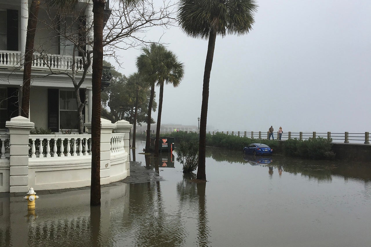
Featured image: Flooding at the Battery in downtown Charleston.


