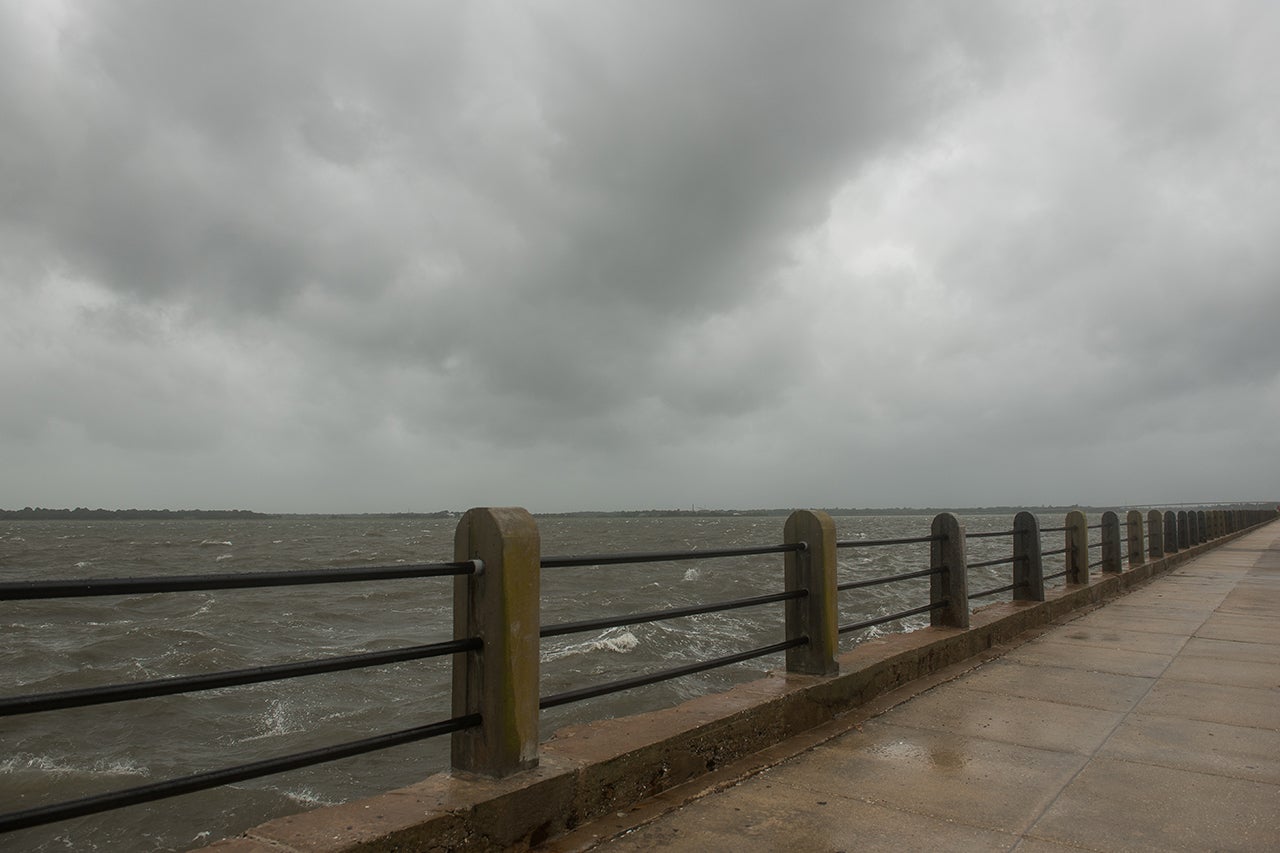
With two named tropical storms in the last month, you would have thought the 2020 Atlantic hurricane season was already well underway. And yet hurricane season doesn’t officially start until Monday, June 1, 2020.
Not surprisingly, the Atlantic seasonal outlook recently released by the National Oceanic and Atmospheric Administration’s (NOAA) Climate Prediction Center is predicting an “above-normal season” of 13 to 19 named storms, of which six to 10 could become hurricanes, including three to six major hurricanes (Category 3–5). An average hurricane season produces 12 named storms, of which six become hurricanes, including three major hurricanes. Hurricane season concludes on Nov. 30, 2020.

Lee Lindner, associate professor of physics and director of the Meteorology and Atmospheric Physics program.
But whether that means those of us living on the East Coast should stock up on canned goods, bottled water and batteries remains to be seen, says Lee Lindner, associate professor of physics at the College of Charleston and coordinator of the College’s Meteorology and Atmospheric Physics Program.
“Forecasting this far out is highly uncertain,” says Lindner. “Moreover, a busy hurricane season can also be one with few landfalls, or vice versa (Hurricane Andrew in 1992 occurred in a light season).”
Many factors go into the number and strength of hurricanes, including sea surface temperature (which can be influenced by weather cycles such as El Niño), as well as changes in global wind patterns (which affect steering, speed of movement and wind shear) and the strength of the Saharan dust layer, among other things.
And – even if all the factors line up – that doesn’t necessarily mean Charleston will see an onslaught of storms.
“Indeed, while the Atlantic as a whole has seen decadal variability in hurricane frequency (which allows for these seasonal forecasts), the strike frequency for Charleston has more of a Poisson distribution, meaning it’s more random,” says Lindner.
Randomly being in the path of a hurricane doesn’t have to mean being caught off guard, however – especially with constant improvement in weather and data technology, like better satellites, aircraft, buoys and modeling software.
“There has been a steady annual improvement in forecast accuracy over the recent decades,” says Lindner, adding “that the expense involved in enhancing forecasting is minor compared to the cost of evacuations or mitigation; in other words, money well spent.”
And, although Tropical Storms Arthur and Bertha have already made landfall in the southern U.S. ahead of the official start of hurricane season, Lindner says, early activity is not unheard of.
“There have been tropical storms and even hurricanes that have occurred in January,” says Lindner, “but there does seem to be an increase in early season tropical cyclones, which may be related to climate change and its effects on sea surface temperature and planetary winds.”
One plus to the early tropical activity is that the systems have served as real-world teaching tools for Lindner’s Maymester course, Exercises in Weather and Climate, which is wrapping up this week. The course counts toward the College’s bachelor’s degree in meteorology.
“Having tropical cyclones occur while the class is in session,” he says, “allows students to examine the underlying physics and even make their own forecasts for the future of these systems – particularly Arthur and Bertha, as they were close enough to cause effects here in Charleston.”


