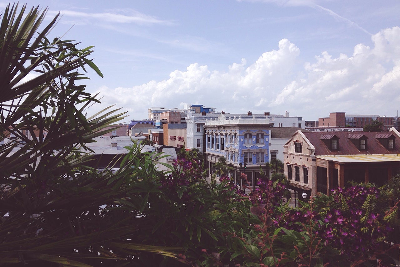
The College of Charleston’s Pearlstine/Lipov Center for Southern Jewish Culture and the Jewish Heritage Collection (JHC) are pleased to announce the launch of the 2020 webpage of Mapping Jewish Charleston, bringing the story of Jewish life in the Lowcountry up to the present.
Beginning with the first Jewish settlers in Charles Town in the late 1600s, this online exhibition weaves together original documents, photographs, topical essays and interactive maps to explore how religion and local culture have accommodated one another – and occasionally clashed – over the past 300 years.
From the Holocaust Memorial in Marion Square to Chabad’s Center for Jewish Life in Mt. Pleasant, Mapping Jewish Charleston/2020 surveys 24 sites of Jewish interest – some prominent, some little known, some recent, some venerable. Designed as a tour guide, an educational tool and a scholarly reference, the free digital resource complements three earlier historical views. The 1788 map provides a sense of the fabric of Jewish life in an early American port city. The 1833 map illuminates the social history behind Charleston’s famous Jewish reformers. The 1910 map draws attention to the important – and underexplored – history of Eastern European Jewish immigration to southern cities.
Mapping Jewish Charleston features new work by the city’s celebrated photographer Jack Alterman and materials from JHC’s rich archival repository, which includes manuscripts, oral histories, photographs, memoirs, genealogies, home movies and other invaluable artifacts, all available to the public, many accessible online through the Lowcountry Digital Library.

